The front door to Alpe di Siusi is a cable car and a crowd. The back door is the Geologensteig. This little-known trail starts beneath the peaks of Schlern carrying you deep into a gorge of thundering waterfalls and 240 million years of mayhem. Discover how to hike this hidden corner of the Dolomites, where the climb is every bit as compelling as the views waiting above.
Two hundred and forty million years ago, the Dolomites did not exist. There were no ridgelines, no snowfields, no jagged teeth tearing at the clouds. There was only water. A tropical sea. Warm, shallow and so clear that sunlight reached the bottom, setting the seafloor aglow.
Life teemed down here. Sponges, algae and corals grew, died and grew again. The living piling onto the dead. Repeat that skeletal dance for a few million years and you get a reef rising from the seafloor like islands of bone.
Then, in time, this balmy world turned violent. Slabs of reef tore loose avalanching down into darker, deeper water. Underwater volcanoes split the floor open. Molten rock met seawater and hardened fast into rounded, pillow-shaped lava, while ash drifted down through the murk and settled into the mud.
Nothing here looked like the Dolomites yet. The peaks would not rise for tens of millions of years, when the African and European tectonic plates locked horns, heaving the seabed skyward.
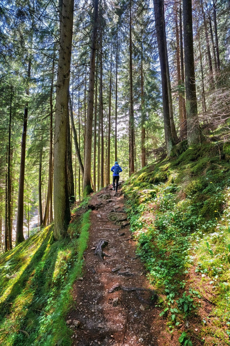
Today, you can walk through the ruins of that vanished sea on the Geologensteig, known in English as the Geology Trail or Geologists’ Trail and in Italian as the Sentiero dei Geologi. The trail claws up through deep forest beneath the rock walls of the Schlern toward the meadows of Alpe di Siusi / Seiser Alm.
Along the way, a stream-carved gorge lays bare the ancient seabeds, hardened lava and fallen reef blocks that tell a 240-million-year-old story. Add pummeling waterfalls, a mountain hut lunch face-to-face with Schlern and surprisingly few hikers, and this is one Dolomites trail worth knowing before everyone else does.
Walk it once, and you’ll have a hard time looking at the Dolomites the same way again.
A Few Hundred Million Years Off the Beaten Path
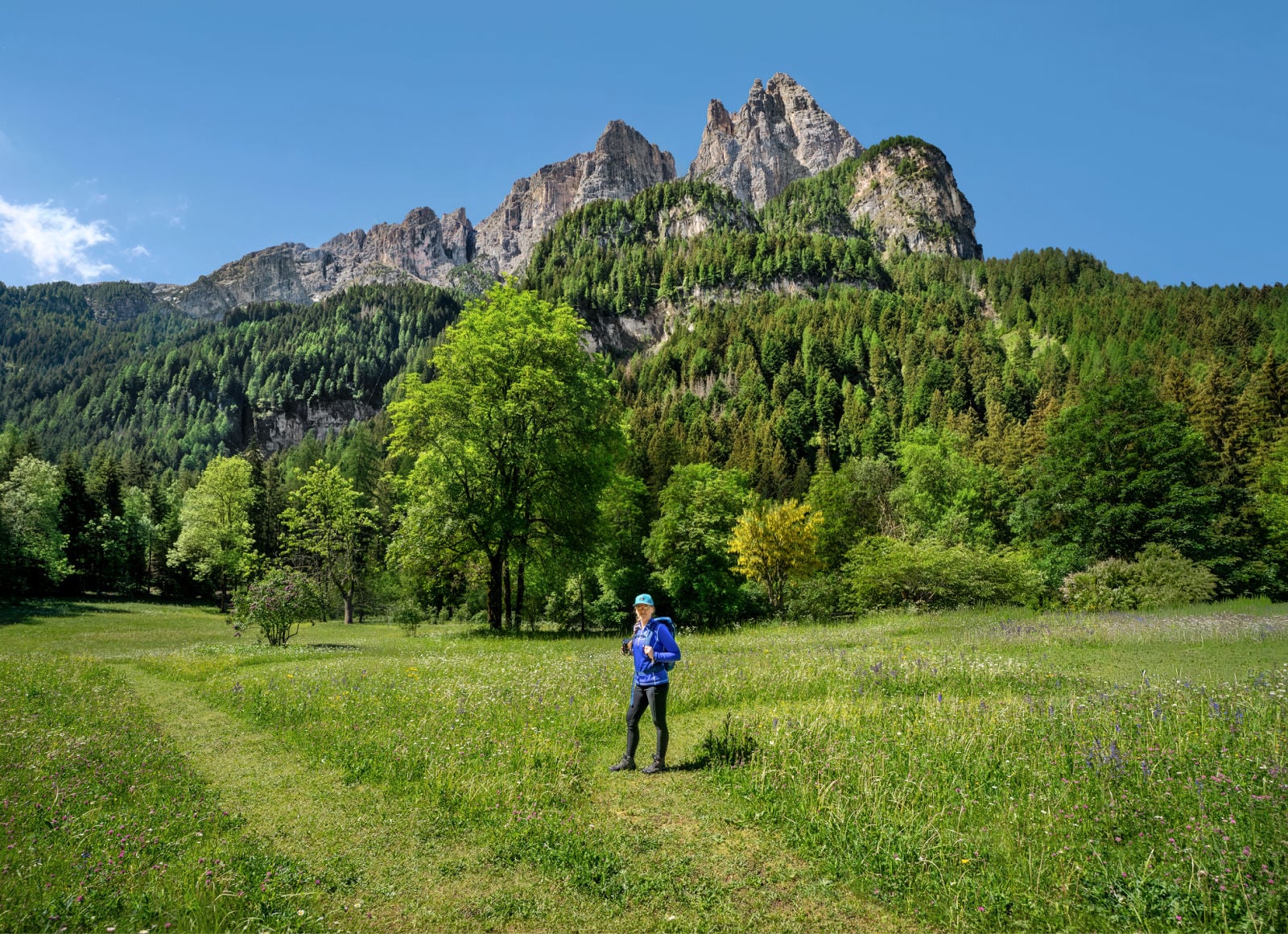
We learned about the Geologensteig while staying at Bad Ratzes, a historic hotel tucked directly beneath the prominent peaks of Schlern. When we asked Michael Scherer, the hotel owner, which hike we should tackle directly from the property, he pointed us toward a trail following the Frötschbach through the gorge toward Alpe di Siusi.
He described it as an interesting hike through the geological history of the Dolomites.
That turned out to be underselling it just a bit.
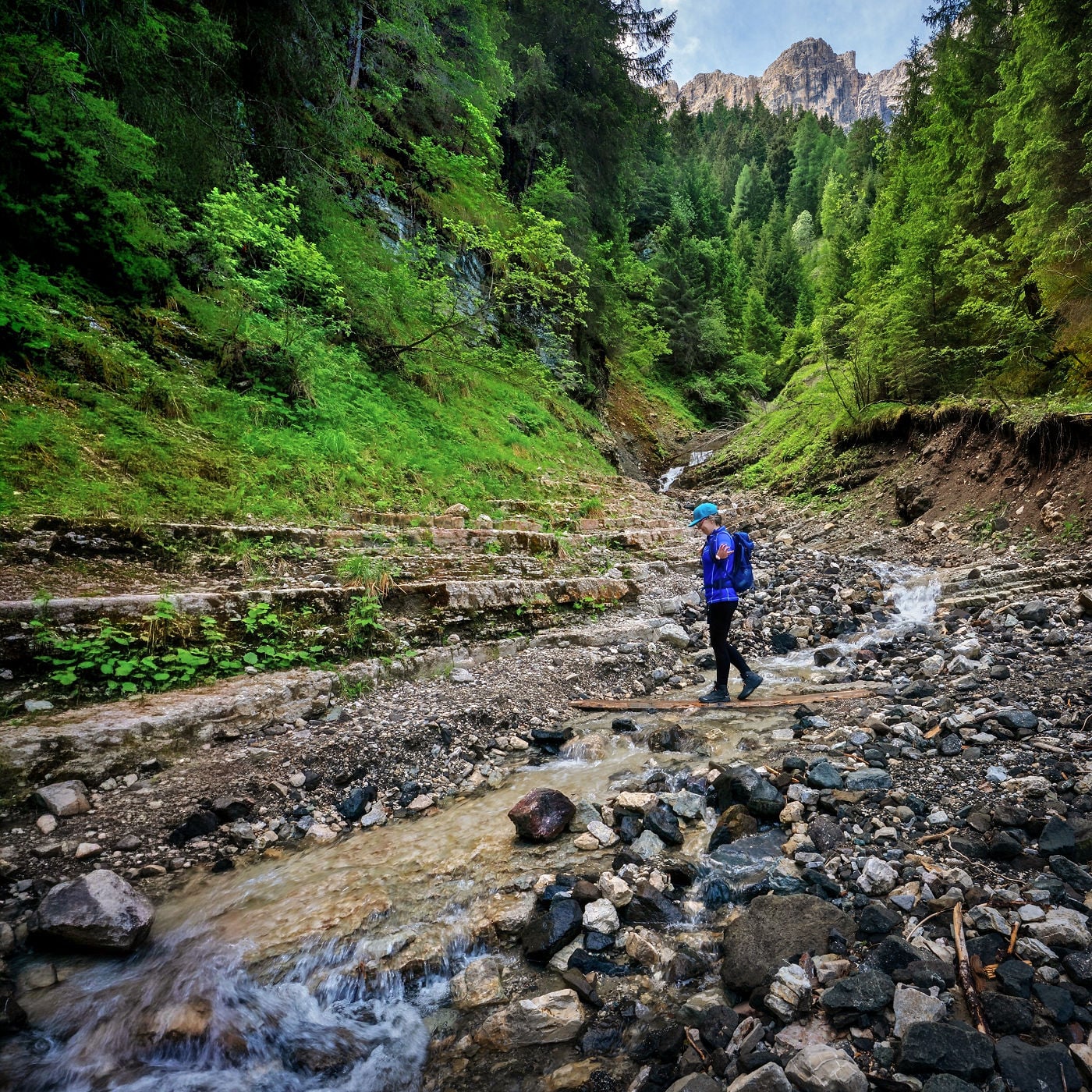
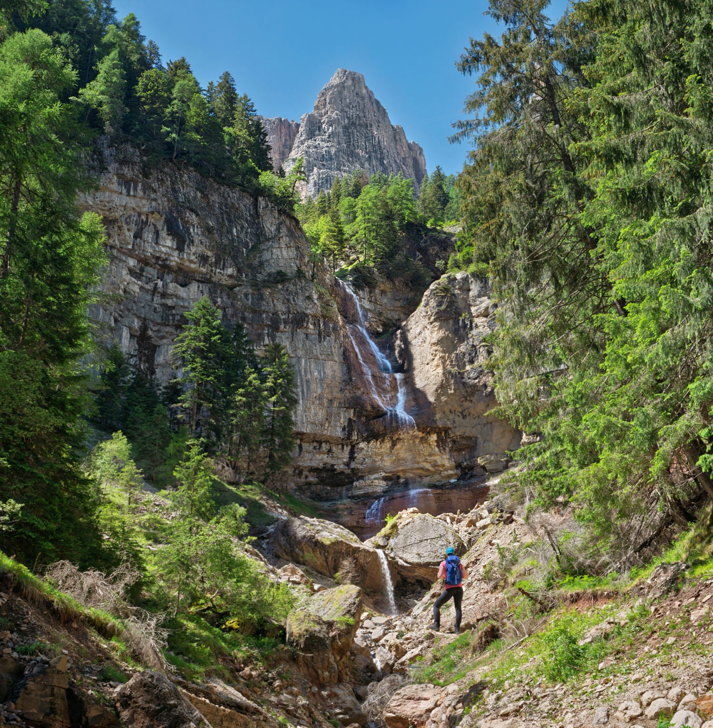
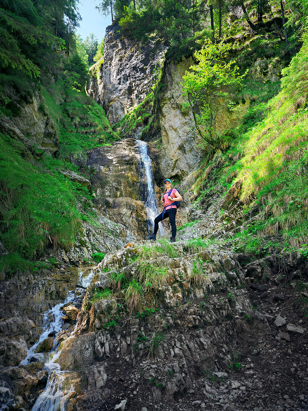
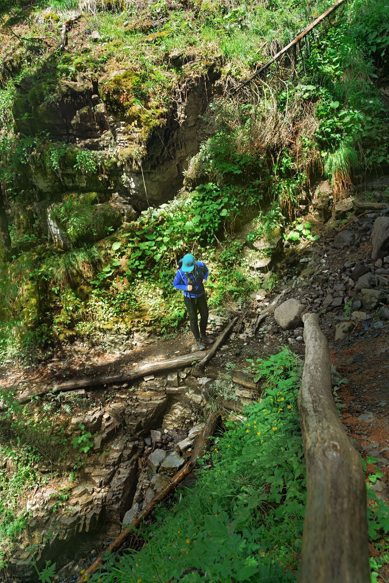
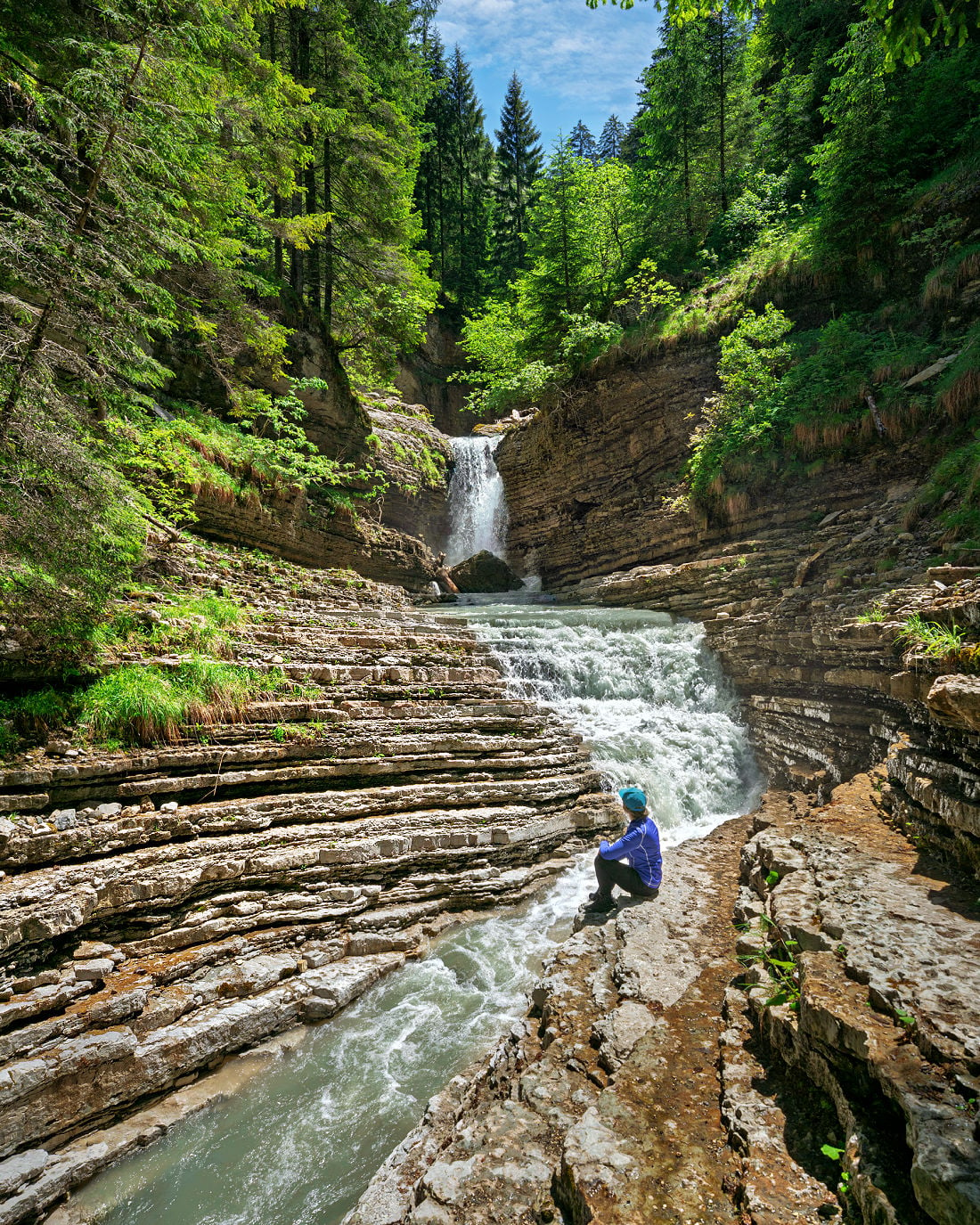
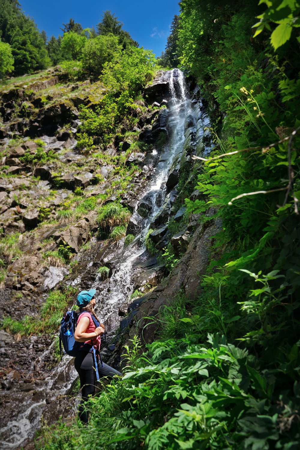
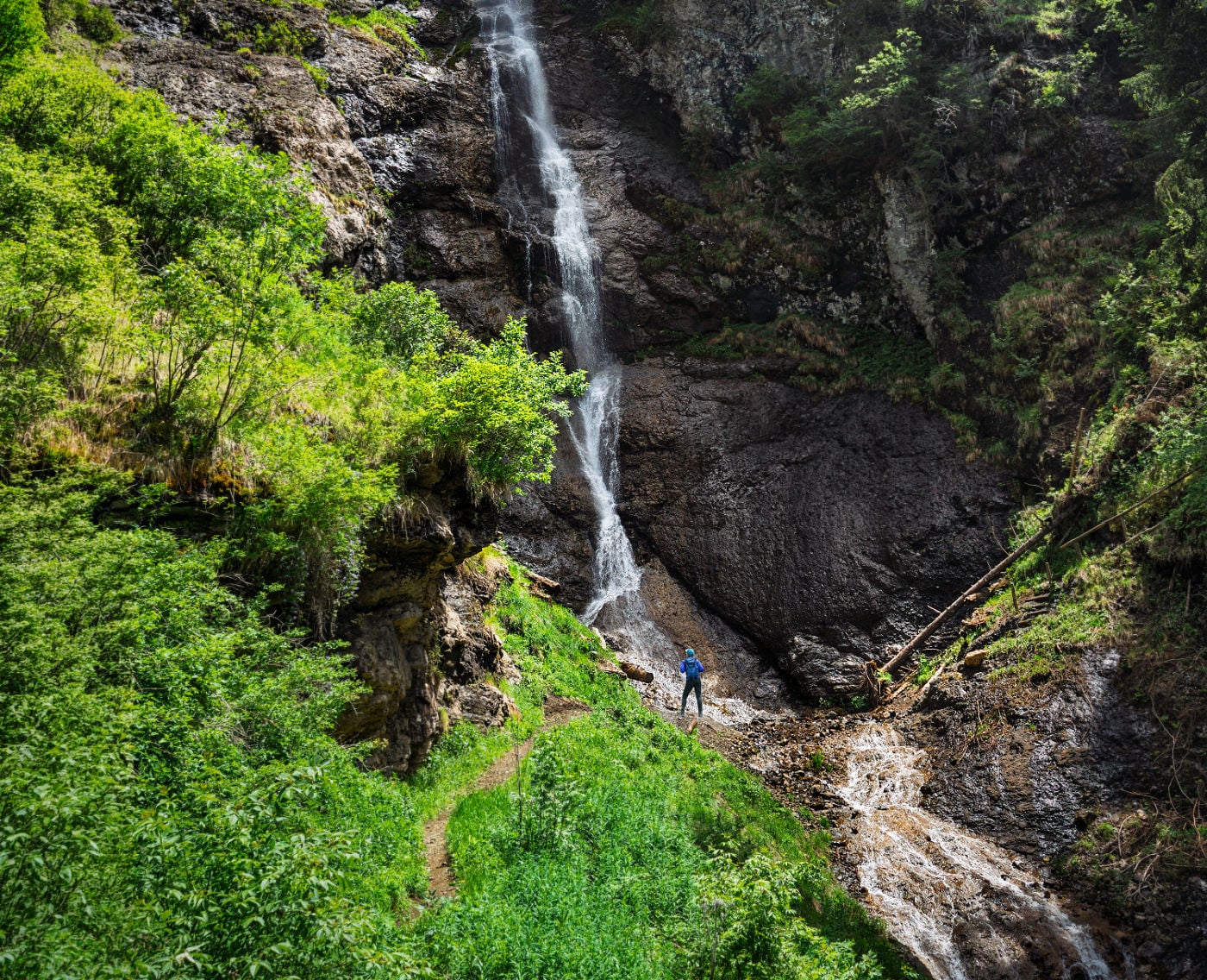
Rain had fallen through the previous night, but morning broke clear. The forest was still wet, the Frötschbach was running hard, and waterfalls seemed to materialize around every bend as we climbed. Some slipped quietly over shelves of stone. Others came hammering through the gorge with enough force to stop us in our tracks.
And for nearly the entire climb, we had it to ourselves. We encountered one other couple.
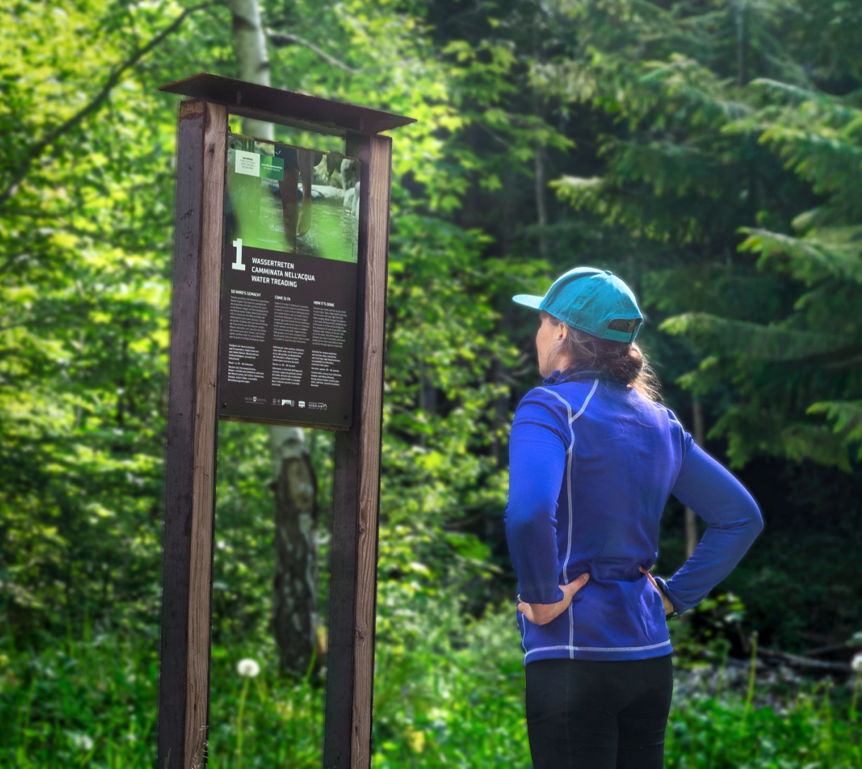
Then the rocks started explaining themselves. Interpretive panels along the Geologensteig reveal what the Frötschbach has spent millennia cutting open: tropical seabeds, volcanic ash, submarine lava flows and titanic hunks of reef ripped loose by underwater landslides.
We expected a pleasant forest hike with a little geology attached. Instead, geology stopped feeling like something trapped behind glass in a museum. Here, the mountain had been opened up for us to read. Every turn in the trail exposed another chapter. We were no longer looking at the rock. We were witnessing its birth frozen in time.
Region
Alpe di Siusi
Distance
5.7 miles (9.2 km)
Elevation Gain
2,030 feet (618 m)
Time Required
About 4 hours
How to Hike the Geologensteig
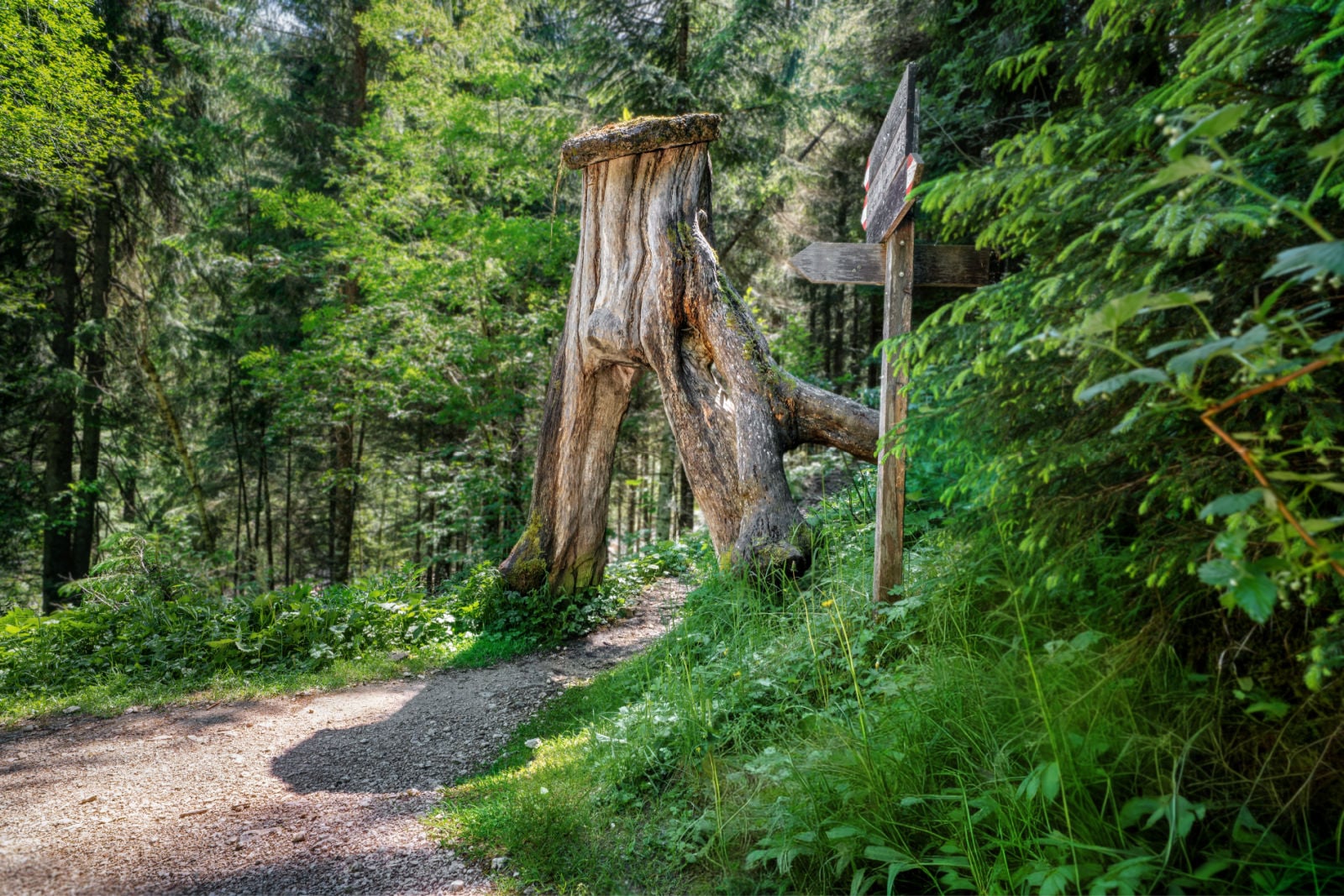
The Geologensteig is a roughly 5.7-mile (9.2 km) loop beginning at Bad Ratzes near Seis am Schlern, with about 2,030 feet (618 m) of elevation gain. We recommend hiking toward Prossliner Schwaige first then to Schlernbödelehütte before descending through steep forest beneath the peaks of the Schlern. This puts the more gradual side of the circuit on the ascent and the steeper forest trail on the descent. Follow trail numbers: 1 → 1A → 10 → 1. Plan on around four hours of walking, not including time for the geology panels, photography or a hut stop.
From Bad Ratzes, you will admire a dramatic view of Schlern before following Trail No. 1 into the forest. The path soon reaches the Frötschbach, which you cross on a wooden bridge before continuing uphill toward Trail No. 1A.
At the junction, Trail 1A briefly drops back toward the stream. It feels a little counterintuitive after climbing, but follow it. This is where the route begins tightening into the gorge and the waterfalls start showing up in earnest.
Along the trail, five information panels help you decipher what the water has cut open. The explanations never feel like a geology lecture. Instead, they point out details you’d otherwise walk straight past. Before long, you’re studying the gorge as closely as the waterfalls.
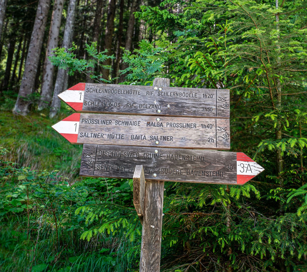
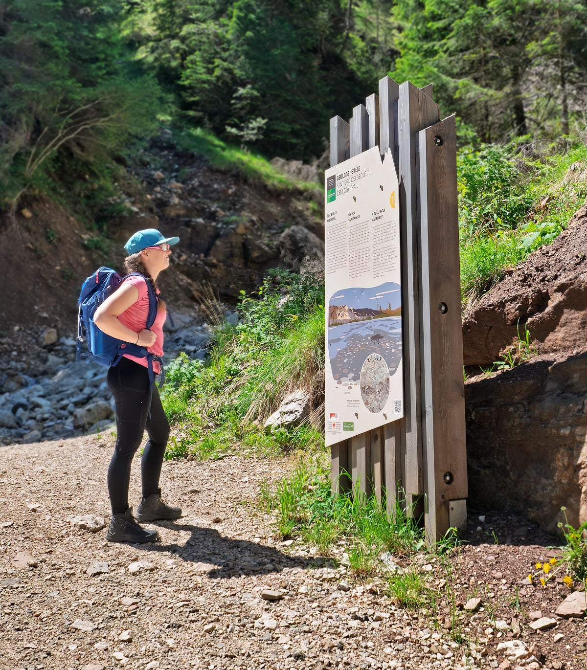
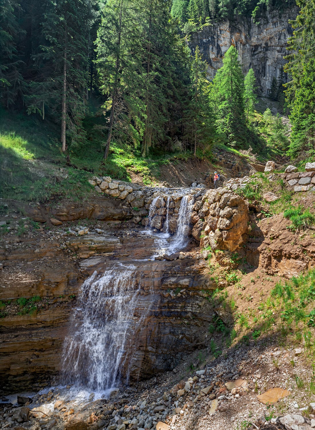
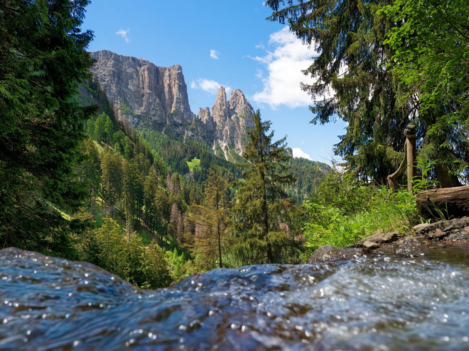
As the climb continues, the forest begins to thin out. More light floods in, which means more sweat, and more cursing under your breath. Then Schlern swings into full view, sheer and enormous, and suddenly the burn in your legs doesn’t matter anymore.
Soon, Alpe di Siusi opens ahead, the meadows spreading toward the Denti di Terrarossa, teeth-like peaks that run into the Rosengarten Group. After the close huddle of the forest and gorge, the change in scale is awe-inspiring.
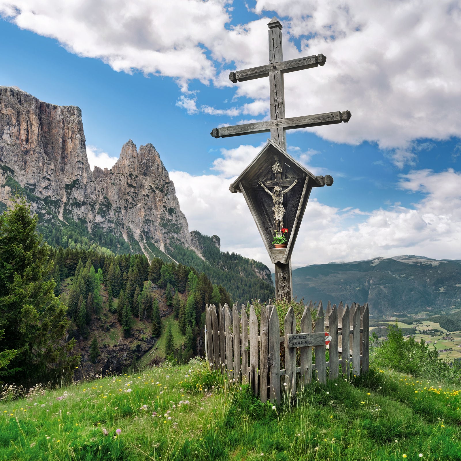
Prossliner Schwaige sits near the edge of the plateau at about 5,700 feet (1,740 m), making it a natural lunch stop before continuing the circuit. Here, we both ordered Hirtenmakkaroni and shared a warm slice of apfelstrudel before taking time to appreciate the beautiful wayside shrine just beyond the hut. Afterwards, we took Trail No. 10 for about another hour to the Schlernbödelehütte.
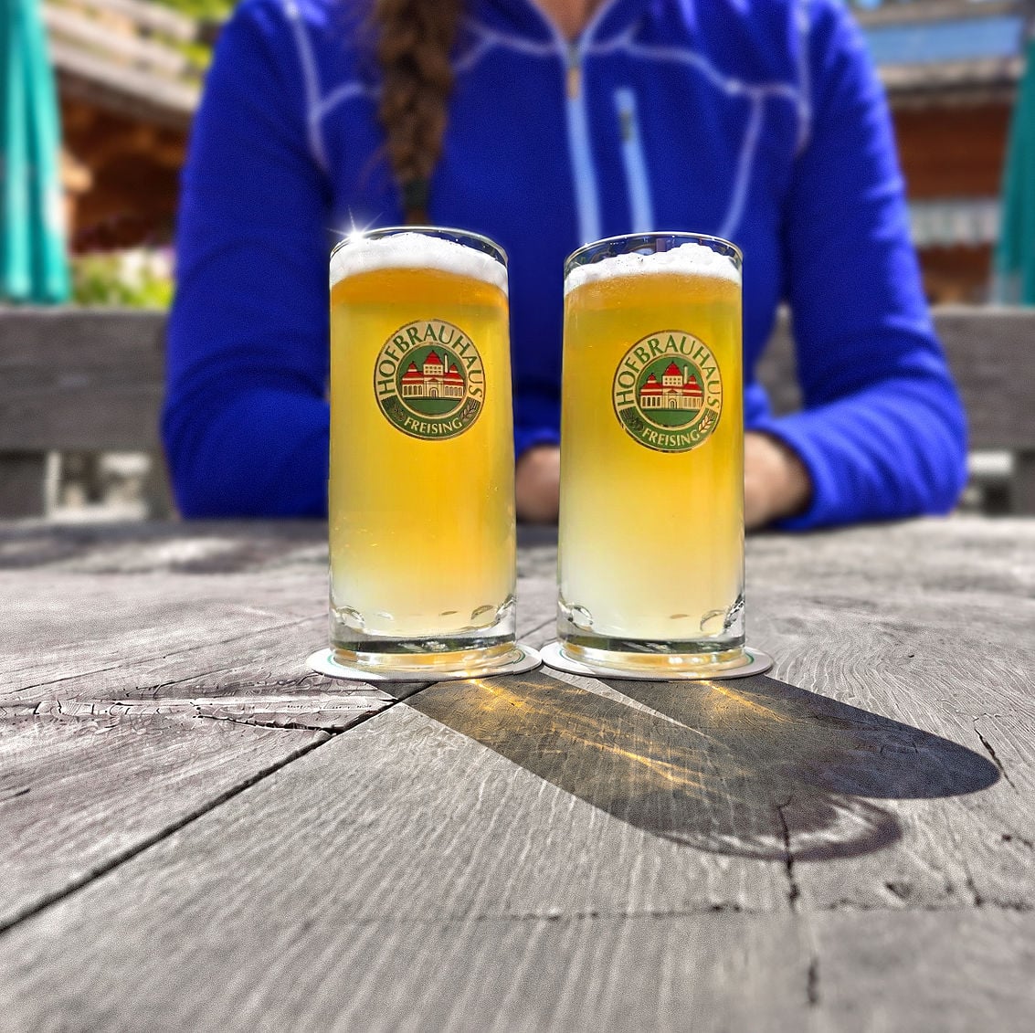
There, we settled in for two beers and gave the dessert menu more attention than two people who had already eaten strudel probably should. Eventually, we decided one sweet was enough for the day.
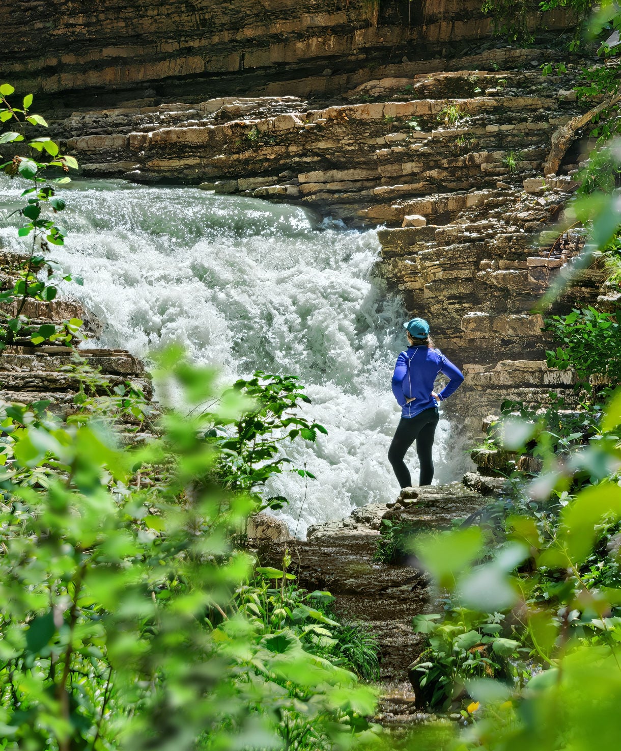
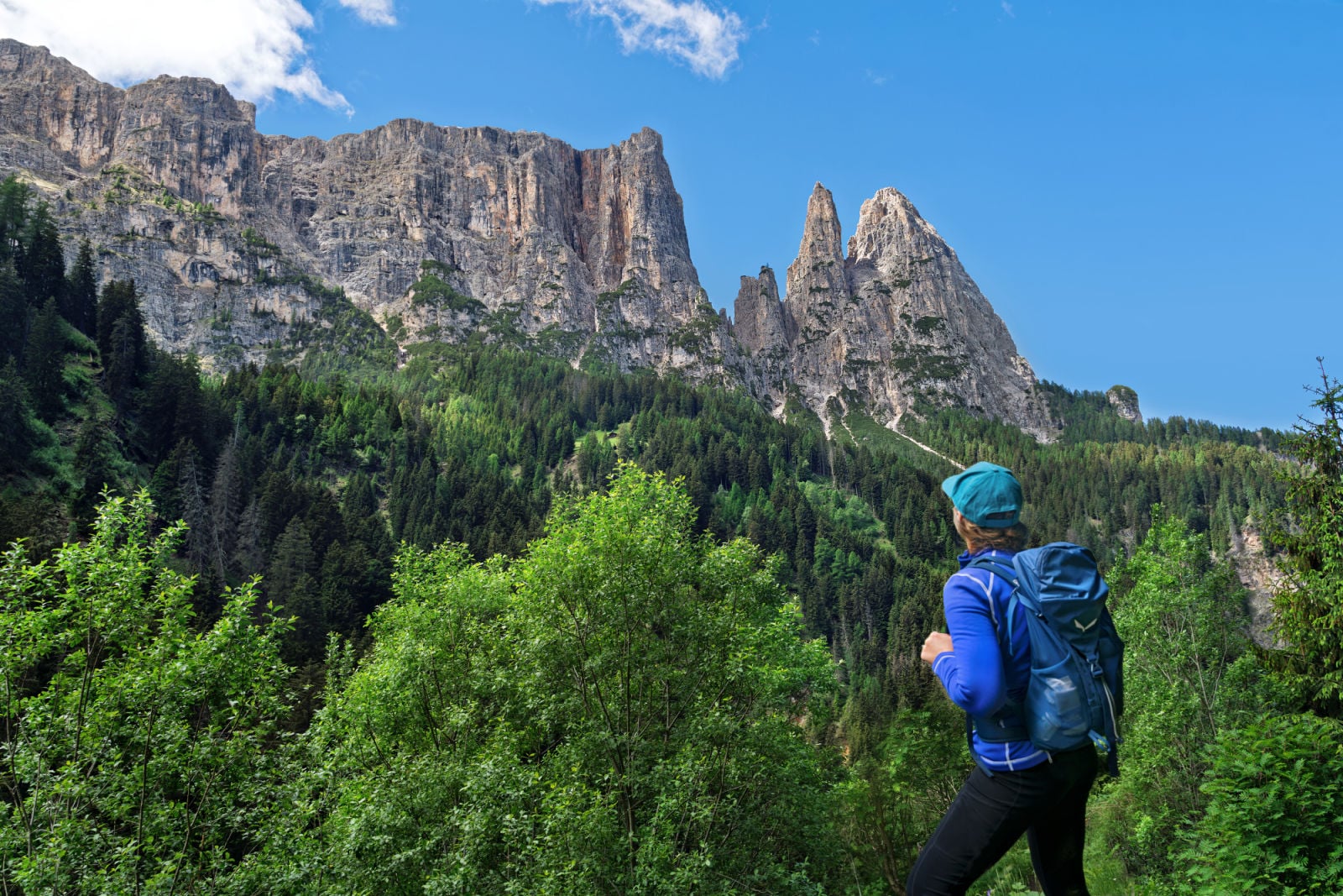
This quaint hut sits at about 5,555 feet (1,693 m) beneath the sheer walls of Schlern. It has weathered more than hungry hikers: an avalanche destroyed it in 1984, prompting the local Alpine Club sections to rebuild it. Today, its two small dormitories sleep 20, and climbers use it as a base for tackling the surrounding rock faces. We were content to admire those between sips.
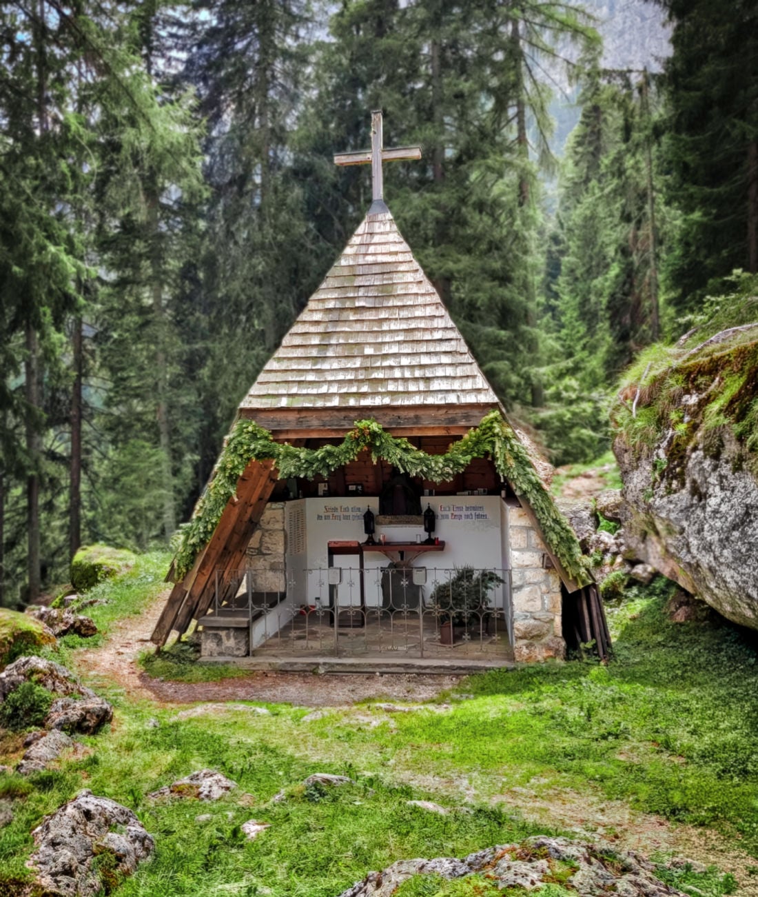
Beside Schlernbödelehütte stands a small memorial chapel honoring mountaineers who lost their lives in the Schlern area. Inside, a long list of names makes the purpose painfully clear. After an afternoon hiking these mountains, it’s worth stepping inside to remember those who never made it home.
The final leg of the Geologensteig follows Trail 1 and descends through the forest to Bad Ratzes. This side of the circuit is steeper than the climb up to Prossliner Schwaige, which is why we prefer hiking to that hut first.
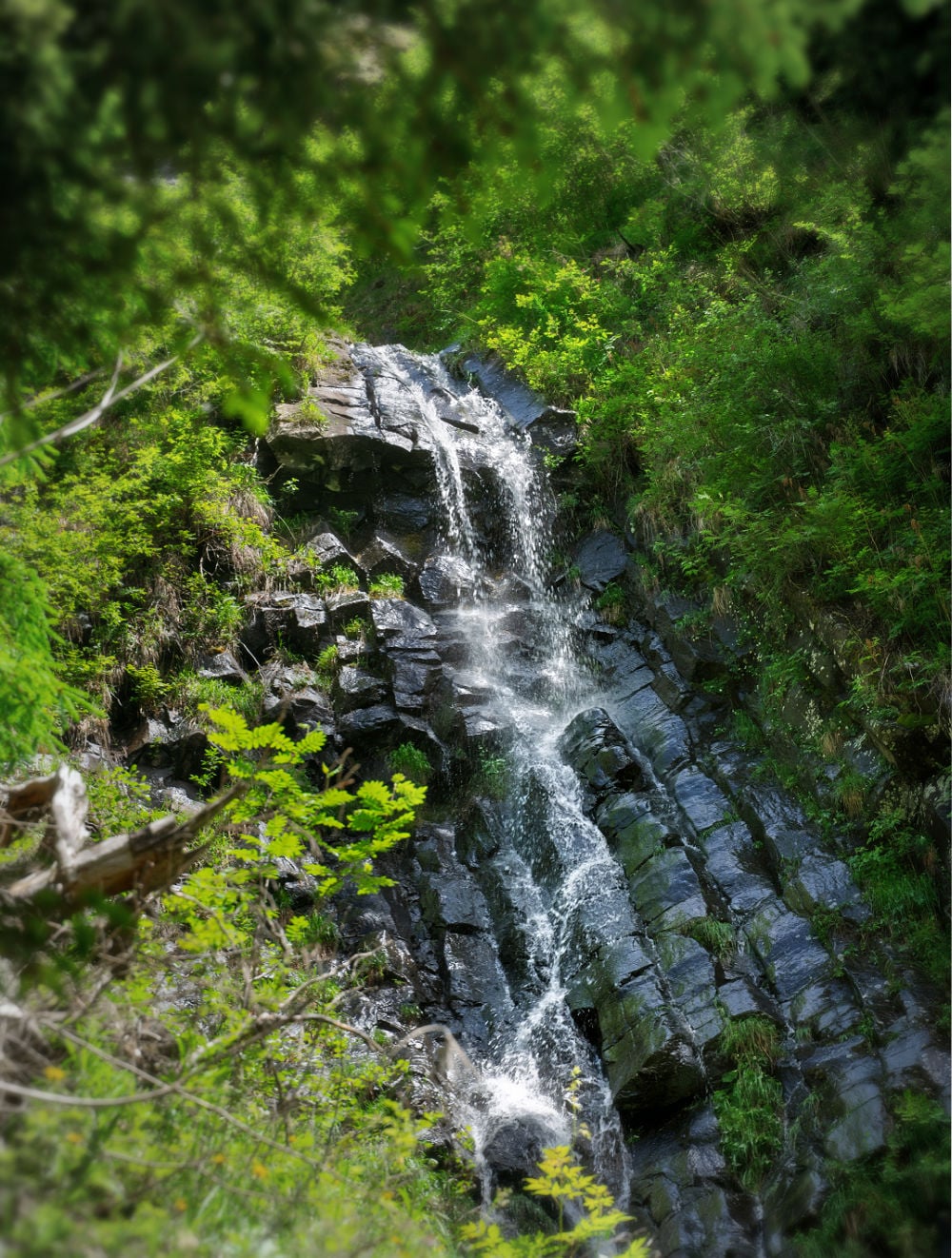
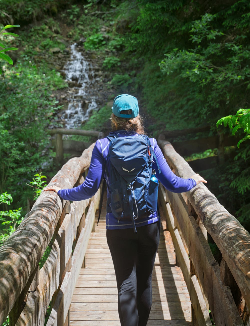




The descent is not technically difficult, but it is where sensitive knees are most likely to notice the trail. Fortunately, an icy treat waits at the bottom. Unfortunately for anyone expecting gelato, it involves taking off your boots.
🚩Good to Know: The trail alternates between forest path, exposed rock, roots, small bridges and built steps. After rain, some of those surfaces can become slick quickly. Wear proper hiking footwear and consider bringing trekking poles, which can be especially useful later on the descent.
A Cold Reception at the Bottom
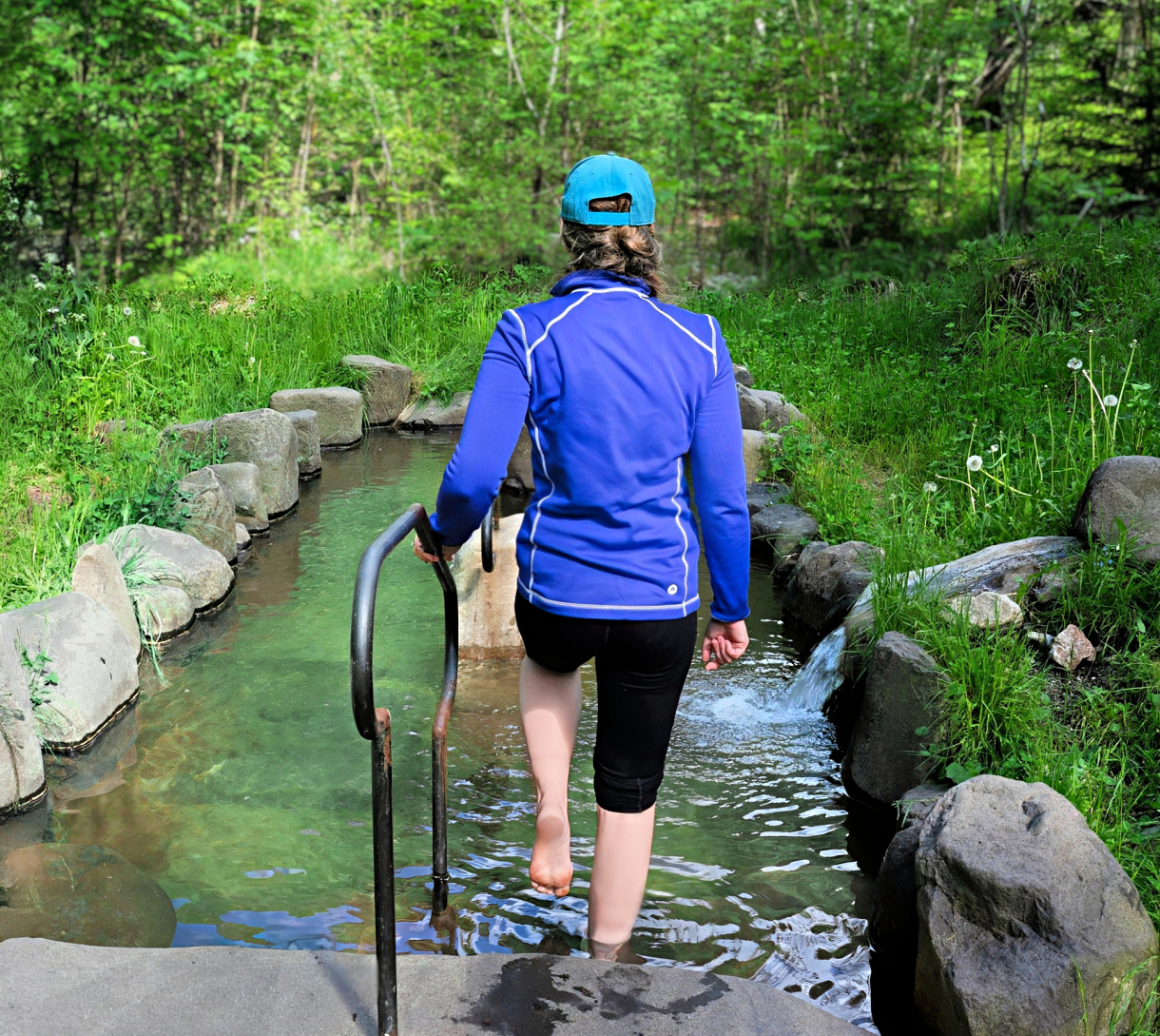
After returning to the trailhead at Bad Ratzes, look for the Ratzes Kneipp course next to the Frötschbach. It offers one last reason to postpone getting in the car.
This short course follows a 19th-century wellness tradition that uses cold water to stimulate circulation and invigorate tired limbs. Signs next to each station explain what to do, leaving you to supply the courage.
After several hours of climbing and descending, we decided to give it a go. First came the icy water around our legs, followed by exercises that required little skill and considerably more enthusiasm for being cold.
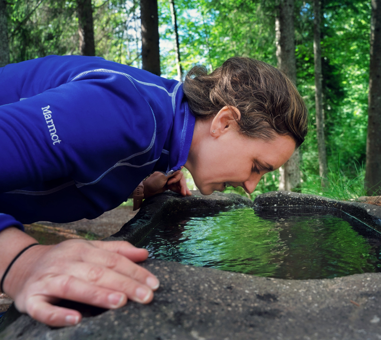
Then we reached the face bath.
A stone basin stood waiting, filled with mountain water, along with instructions to lower our faces into it. We studied the water. We reconsidered our commitment. Then we went in.
Whatever thoughts we’d been entertaining about a leisurely post-hike nap disappeared on contact.
For us, staying at Bad Ratzes meant the next stop was the hotel spa. Cold mountain water followed by a little warmth and a comfortable place to lie down. We felt we had earned both.
The Best Time to Hike the Geologensteig
Like most hiking destinations in the Alps, the usual hiking window for the Geologensteig runs from late spring through early autumn, with the exact start and end of the season depending on snowfall and trail conditions. Because much of the route climbs through forest and gorge, it can be a good option even when the open trails on Alpe di Siusi feel hotter and more exposed.
We hiked the Geologensteig in early June after rain had fallen through the night. The timing could not have been better for the waterfalls. The Frötschbach was running hard, smaller cascades spilled through the gorge, and the whole route felt charged with water. The tradeoff was slick footing. Roots, rock and wooden surfaces were still wet, so sturdy hiking boots mattered. Earlier in the season, snow can also linger higher on the circuit even when the lower gorge is already clear.
Autumn in South Tyrol brings cooler hiking weather and typically quieter trails, but hut schedules become more important as the season winds down. Prossliner Schwaige and Schlernbödelehütte may not close on the same date, so check both before setting out if you are hiking in late September or October.
Reaching the Geologensteig Trailhead
As we noted above, the Geologensteig begins at Bad Ratzes, in the forest above Seis am Schlern. For this hike, staying at Bad Ratzes is difficult to beat. We stayed here during our hike, and the trail begins essentially outside the hotel. You can walk out the door in hiking boots, spend the day climbing through the gorge, and return without touching a car.
That convenience feels even better after roughly 2,000 feet of climbing and descending. Instead of ending the hike with a drive back to town, we ended ours with a shower, the hotel spa and dinner. See our full review of Bad Ratzes.
If you are staying elsewhere, you can reach the trailhead by road from Seis; parking near Bad Ratzes is limited, so it is worth arriving early during busier hiking periods. From Bolzano, plan on about a 50-minute drive to Bad Ratzes. If you are based in Ortisei, the drive is roughly 30–35 minutes, depending on traffic.
Planning a Dolomites Trip Beyond the Famous Trails
The Geologensteig is the kind of hike that can disappear beneath bigger names when you begin planning a trip to the Dolomites.
Seceda, Sassolungo, and Tre Cime deserve their reputations. They just don’t have a monopoly on good hiking.
Our South Tyrol + Dolomites Trip Planner brings together the famous places and the trails travelers often overlook, along with the basing decisions and logistics that make it possible to experience them without spending half your vacation racing between trailheads.
Save & Pin for Later
Grab the free guide + follow for travel tips
25 Things to Know Before Visiting the Dolomites
Join 18,000+ travelers. No spam, ever.